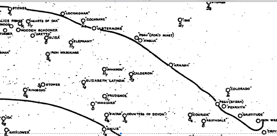
I have navigated in and out of Liverpool for over 30 years and I had never seen these training walls until 2019. This is, of course, mainly because I rarely pass them at LW, and then not at springs. What is of concern, however, is that the training walls can have wreckage sticking out above them. The bend near Taylor's Bank (known as Taylors Revetment) was a magnet for wrecks: several large vessels were stranded and broken up: Ulstermore(1913); HMS Cochrane(1918); Armagh(1923); Lochmonar(1927); and, the best known example, PEGU(1939) which is charted as drying 5.9m and is just visible at half tide [north of C6 buoy]. However, I have crossed the training walls successfully in certain areas (near Murphy's Gut; near Alpha buoy; entering Alt) and have surveyed them from my boat. I have actually tied alongside the wreck of the PEGU over neap LW - without seeing the training walls. In these surveys, I have not found any areas more than 2.5 m above CD, but a more comprehensive survey would be to inspect the walls at tidal height 2.5m above CD to check nothing shows above water. The sailors who use the Alt recommend that it is feasible to cross the East Training Wall in a yacht within 2 hours of HW.
Here I present my survey results: depths in metres are reduced to CD using tidegauge results for Liverpool Gladstone Dock. The actual tidal range in the outer Mersey estuary is somewhat less than at Gladstone and HW is somewhat earlier. I have not corrected for those small changes. Distances are in metres.
Taylor's Bank Training Wall (on North side of Queen's Channel close to
Alpha buoy which is central to the plot):

Here the wall appears to be less than 2m above CD - for more discussion
see Going North.
Near Murphy's Gut (this is the western training wall just north of the Rock
Channel opening). The black crosses and line represent the HO chart position of the
eastern edge of the training wall [Also 3D image of part of same data]:


This shows that the wall mostly does not dry more than 2m and, moreover, that its location is further east than on the HO chart. For more discussion see Rock Channel. Note that the Navionics chart of this area shows a further magenta line west of the two lines that appear on the HO chart - and this magenta line does not appear to be close to the wall either.
I have recently [2019] visited this area at LW and taken some images of the Training Wall
[near Murphys Gut - southern end of west training wall].
At LW [0.6m above CD; buoy is C23]:


From these observations near LW, I could see that the training wall in this area is covered at a time when the tidal height was 2.2m above CD from the tidal gauge data from Gladstone Dock for that time; although the training wall a bit further north seems to be slightly higher.
I have found some nice images of the training banks (at a low water
corresponding to 1.0m at Gladstone) from
a microlight flight over the wreck of the PEGU.
An image of the PEGU wreck on the Taylors bank training wall (NE
corner of channel) and, looking towards Liverpool in the distance, at
left the Crosby East Wall and at right the wall on the other (west) side
of the channel:
 >
>
In summary: the training walls (also known as training banks and as revetments) are solid obstacles either side of the main shipping channel. The buoys are located so as to avoid them. For a vessel drawing 2m or less, it is feasible, with sufficient tidal height at that time, to cross the training walls with local knowledge: namely after ensuring that they do not protrude by more than 2.5m above CD in the region to be crossed.