I mainly use tides favourably (this helps a lot) and motor at my displacement speed (5 to 7 knots). I have an auto-pilot but use a kitchen timer set on 10 minutes (or less) to help me keep a regular look out. I always stop overnight -- since I am single-handed.
Sunday 16 June: Leave Liverpool Marina after HW (5:50 8.0m) at 7:30. Sunny and calm. Leave via Rock Channel. I headed for the wreck of the LELIA (west of Burbo Extension Windfarm which is now up and running) to do some surveying.
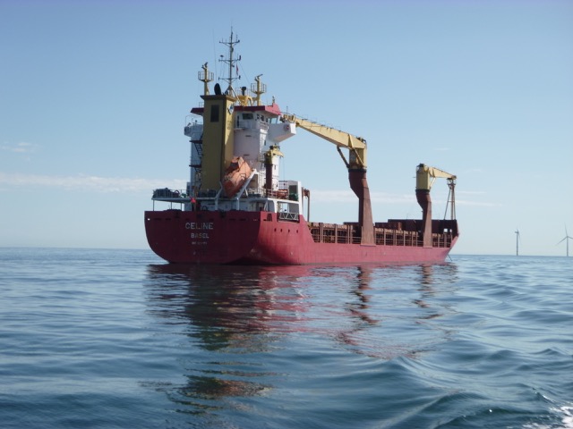
At 10:10 I headed further west to pass north of Gwynt y Mor windfarm. This took me close to an anchored vessel CELINE which was flying a flag I recognised: a Swiss flag. This vessel was way too big to ever get up the Rhine river to Basel (Swiss port of registry). So I met the "Swiss merchant navy".
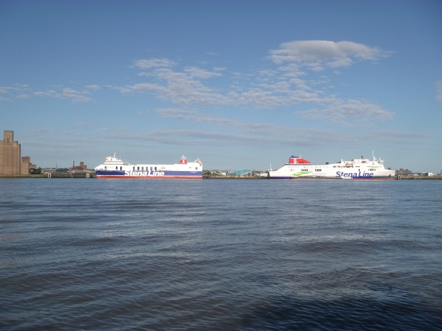
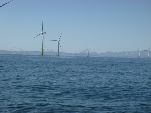
Stena ferries alongside at Birkenhead; Swiss registered CELINE; Snowdonia beyond the windfarm turbines.
 |
 |
 |
I continued then passing north of the wind farms but south of the traffic separation zone, surveyed another wreck site and passed Great Orme at 1:00pm heading for Puffin Island. Arrive at S side of Puffin Island at 2:00 and followed my waypoints to get around the spit. More about Puffin Island.
Up past Beaumaris (2:25) to Menai Bridge. It was a fine Sunday and
there were many power vessels, sports boats, tripper boats, ribs and
jetskis around.
I approached St. George's Pier
at Menai Bridge at 3:15pm. The Bangor University research vessel PRINCE
MADOG was berthed there with a fishing boat tied alongside. The pontoon
alongside berths were full of ribs. The skipper of the fishing boat
popped his head up as I came close and said he was about to leave.
So I tied alongside PRINCE MADOG and scrambled aboard to go into Menai
Bridge for something to eat (Menai Pizza at Dylan's).
I wanted to get a little more data for my survey of the swellies taken in 2016 and HW slack
(NOT HW) would be at 4:30. I set off at 4:05 and headed into the
Swellies. There was a lot of boat traffic around so it was not ideal for
doing "pirouettes" around the rocks I wanted to survey. I most probably
confused a few navigators... By 4:35 it was slack water near the
Suspension Bridge and I returned to St. George's Pier at 5:00 and tied
alongside PRINCE MADOG again.
A little later, the skipper of PRINCE MADOG informed me that
MERSEY GUARDIAN (survey cat doing bottom sampling for Natural Resources
Wales) would be coming alongside later that evening, and PRINCE MADOG
herself would be leaving at 6am the next morning. I was offered the
choice of either lying alongside her stern (which I have done before) or
going to the low-level pontoon which was now clear of ribs. I chose the
latter and was able to give a tour of a Mitchell MkII to some of the
crew of the PRINCE MADOG who were interested.
After a brief visit to the Liverpool Arms and a chat to a family
fishing from the pontoon, I retired early. It was calm overnight.
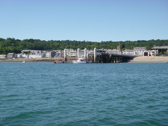
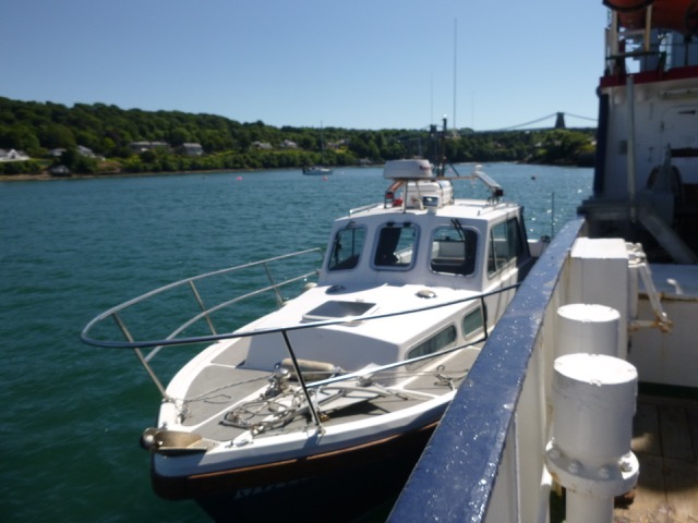
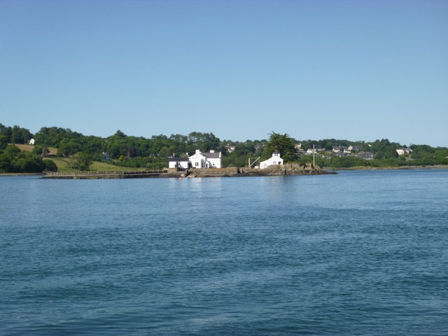
Beaumaris Pier, Marlin at Menai Bridge, Gored Goch (Island in
Swellies)
 |
 |
 |
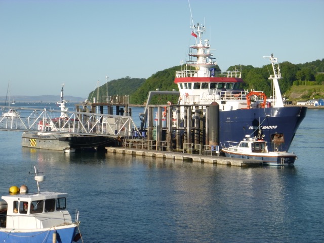
Menai Bridge was a busy port that evening: as well as the large research vessel PRINCE MADOG, the Turbine Transfers POINT LYNAS (contracted to pressure wash turbine supports), MERSEY GUARDIAN (grab sampling for Natural Resources Wales) and MARLIN (surveying swellies) were in port.
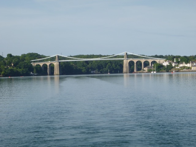
Vessels at St. George's Pier (PRINCE MADOG, Lynas Point, Marlin, Mersey Guardian (behind Prince Madog)). Menai Suspension bridge (morning)
 |
 |
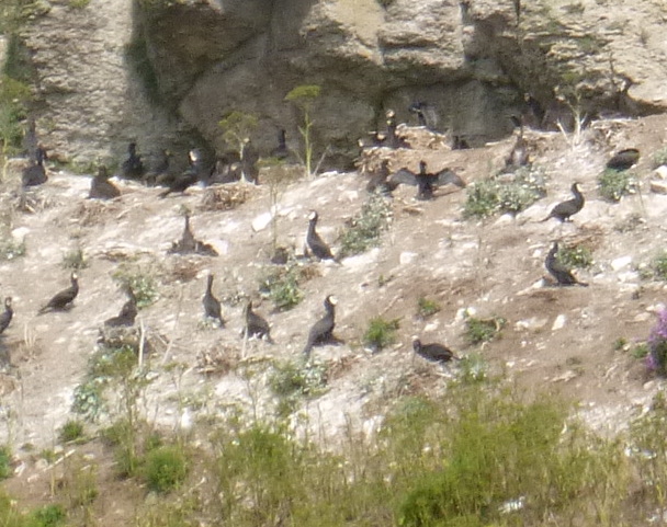
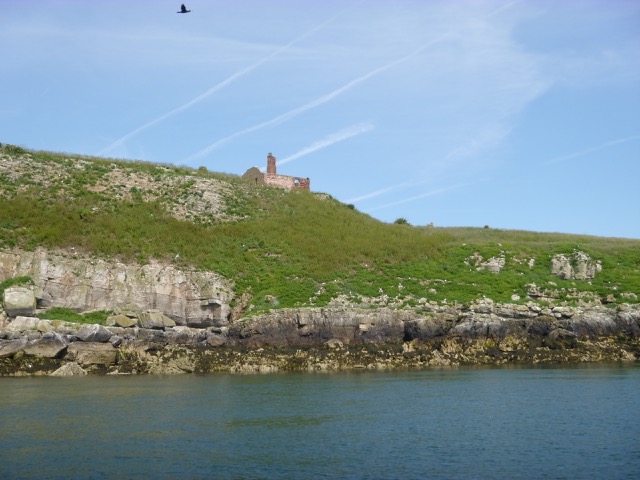
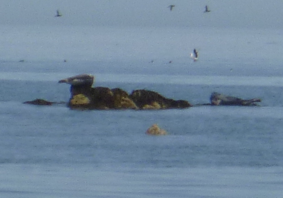
Monday 19 June [Liv HW 6:57 8.1m; 19:39 8.0m]. PRINCE MADOG duly left at 6:00 and Mersey Guardian reberthed alongside the main pier. I stayed until 8:15 and set off in very calm sunny conditions. Current was initially adverse but had changed to favourable by the time I passed Beaumaris. Off Beaumaris I was surprised to see a paddle boarder quite far offshore. I passed the tripper boat Starida towing a dinghy that had been used to put a party of 10 ashore on Puffin Island. I followed my waypoints to get access to the SE side of Puffin Island at 9:50 (least depth 4.3 m under my keel). I drifted NE alongside Puffin Island taking pictures and watching the seabirds and, at the NE tip, seals. More about Puffin Island.
Puffin Island: Cormorants; the ruined buildings, seals lounging on the rocks.
 |
 |
 |
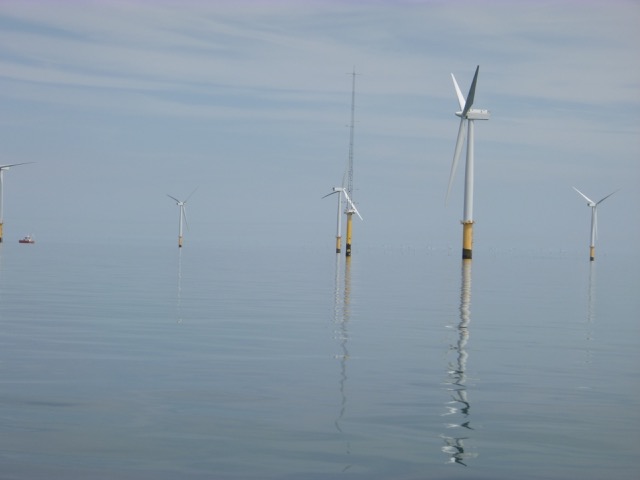
I headed slowly east, with adverse current, fishing towing a paravane and then at rest. After much effort, 3 small mackerel were caught. I passed south of Rhyl Flats windfarm in calm weather and then headed for my Rock Channel waypoint "corner" with favourable current. Crossing East Hoyle Bank I had least depth of 3.6m (at 4:25). The wind started to pick up from the north - giving a beam sea. I crossed North Bank into the Rock Channel at 4:45 with least depth 0.7m beneath my keel. I do like to exercise the Green Bits of the chart.
Rhyl Flats windfarm in really calm weather.
 |
As I was approaching the Rock Channel I heard Holyhead Coastguard announcing "Seelonce feenee" - this is an anglicised version of french "silence fini" meaning that emergency working on channel 16 is now finished and non-urgent calls are allowed. The Mayday was called "missing swimmer in Mersey" and, I believe, was a search for a swimmer near Woodside Ferry Terminal (the other swimmer having been recovered earlier). Later reports indicate that the swimmer was not recovered alive.
I was in the Mersey by 5:00 and off the marina lock by 5:30. I locked in at 5:57 - the only boat - which was surprising considering how good the weather had been. 48nm run on return from Menai Bridge.
A record of the depth and track of my voyage is available from teamSurv
Clicking on an image should give a higher resolution picture. If even higher resolution versions of the above images are wanted, please contact me. All information given in good faith, but please do not rely on it.
Back to index here