Friday 18 March (Liverpool HW 7.07am, 7.6m; 19.50, 7.7m). Calm
weather. Wind E slight.
Enter river from marina at 8.40 and head out. Some mist/fog.
Unusually Mersey VTS called me to warn me of reports of thick fog in
places near the Crosby buoy. I have radar and the visibilty seemed to be
improving -- and was better than 1 mile for me as it turned out.
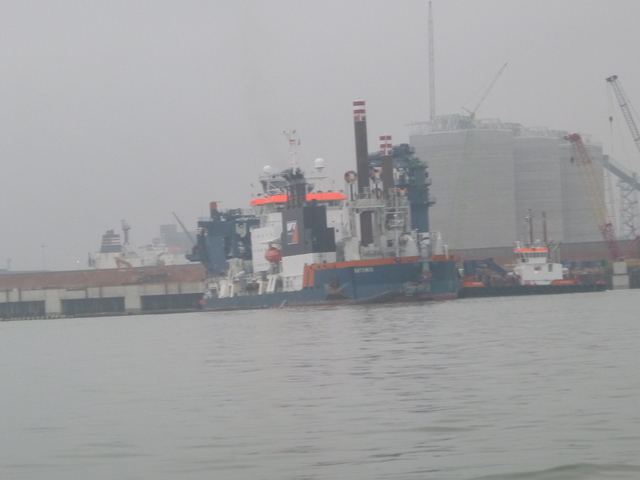
On the way out I passed the small dredger Iguazu
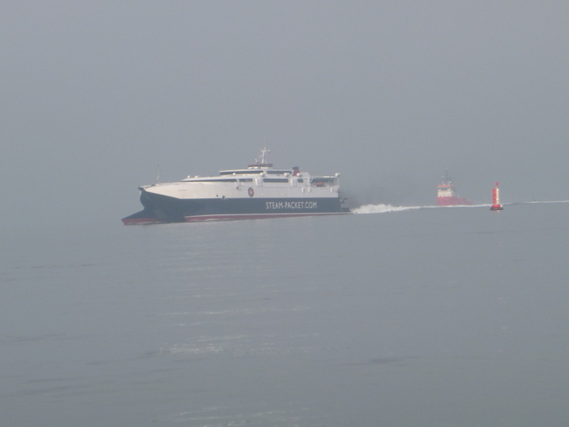
(water injection dredger) working on Askew spit as well as the Isle
of Man ferry Manannan incoming at speed.
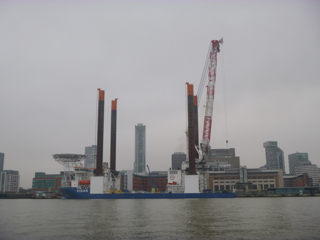
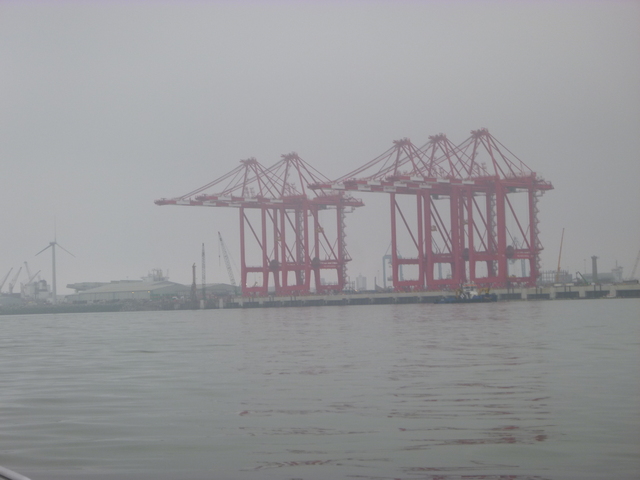
The big jack-up rig on the cruise terminal; the container cranes newly built at Seaforth.
| |
|
The jack-up rig working on the container berth at Seaforth. Traffic in the shipping channel at Crosby buoy: IOM ferry Manannan and small dredger Iguazu.
 |
 |
I arrived near the Gut Buoy at the entry to the Ribble Estuary at 11.27
(HW liverpool + 4:20 hrs). I wanted to survey the channel since I had seen
reports (from Reeds Almanac) that it had changed again recently.
It was calm enough to see the places where the current was running
(adversely for me at 1-2 knots) and so was deeper. I reached Lytham by
12.30 (HW liverpool + 5:23 hrs) with least depth under my keel of more than
1 metre. So about 4 hours from Liverpool to Lytham at my displacement
speed (7 knots through the water).
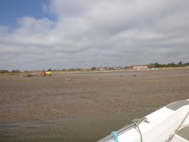
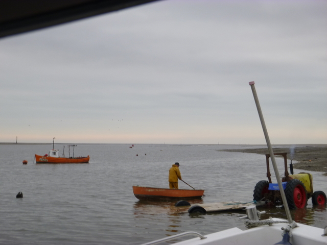
A local fisherman was getting ready to leave his mooring off
Lytham and he helpfully (thanks PN50) indicated a safe place to dry out
on the beach.
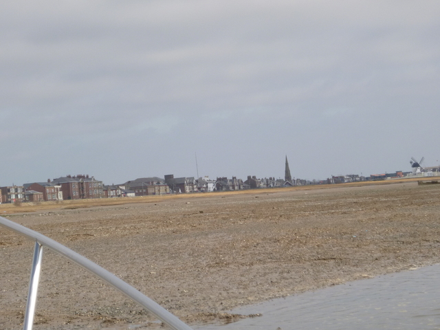
Two views of Lytham from my position on the beach.
 |
 |
I also used the tracks from my previous excursion into the Ribble in 2013 as well as information from the Almanac and Ribble estuary guide information.
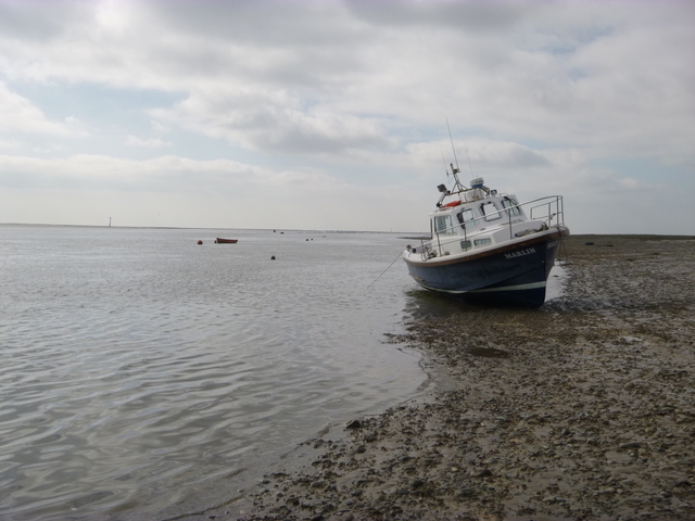
I ran aground on the beach: stones, gravel and a bit of mud. There are abandoned (and in use) moorings with chains and assorted sinkers on the beach as well as some fairly large stones. My spot was clear of obstacles. Position 53 43.933 N, 2 58.590 W. This beach is fairly well protected near low water so craft take the ground gently.
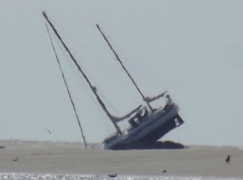
Marlin aground; PN50 nearby.
 |
 |
My boat was sufficiently dry by 13.00 for me to go overboard and
scrub weed and slime off the hull.
Liverpool LW was at 14.06 (2.6m) and I expected a similar time of
LW at Lytham. Wrong.
From my observations, low water was closer to 15.00 and the
outgoing current did not slacken until some 20 minutes after this.
Eventually at 4.30pm (Liv HW - 3:20 hrs), I floated again and set off
back to Liverpool.
Using my incoming track as a guide (plus ripples from wind over tide to show deeper water) I left against the incoming tide. To get back at a suitable hour, I increased the revs to give about 10 knots through the water. The wind was still slight (E force 2) and there were only tiny waves.
I returned passing close to Alpha buoy again and then in via the shipping channel (where Iguazu was still at work). I was off the marina entrance by 7pm (so 2.5 hours from Lytham to Liverpool at around 10 knots). Distance run (over ground) 27 nm outbound and 26 nm returning.
See TeamSurv for details of my tracks and depths.
If higher resolution versions of the above images are wanted, please contact me. All information given in good faith, but please do not rely on it.
Later info of interest: avoid the training walls near Lytham,
from
RNLI Aug 2019:
Back to index here