Weather was forecast SE becoming S 3-4. So decide to dry out somewhere sheltered from that direction.
Tues 25 Oct. Leave Liverpool Marina at 9:30 (HW 7:53 7.7m). Proceed past Cruise Terminal. Then explore/survey Murphy's Gut. This is the charted channel that runs just west of the training wall and then NW. See more info.
Cut across Hoyle Spit to head past He3 into Hilbre Swash. Then at 12:00 head for the beach to dry out east of Hilbre Island at 53 23.167N 3 13.395W. This has hard sand and with offshore wind there were no waves.
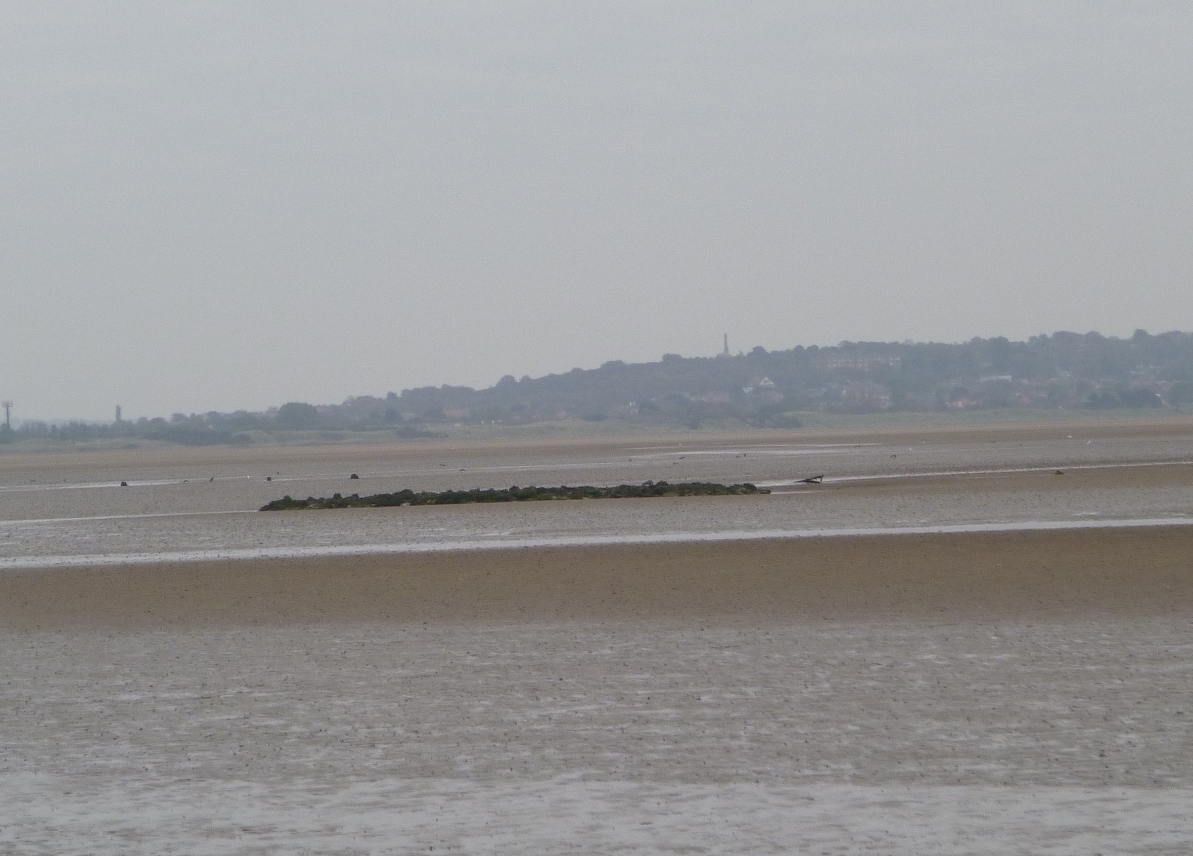
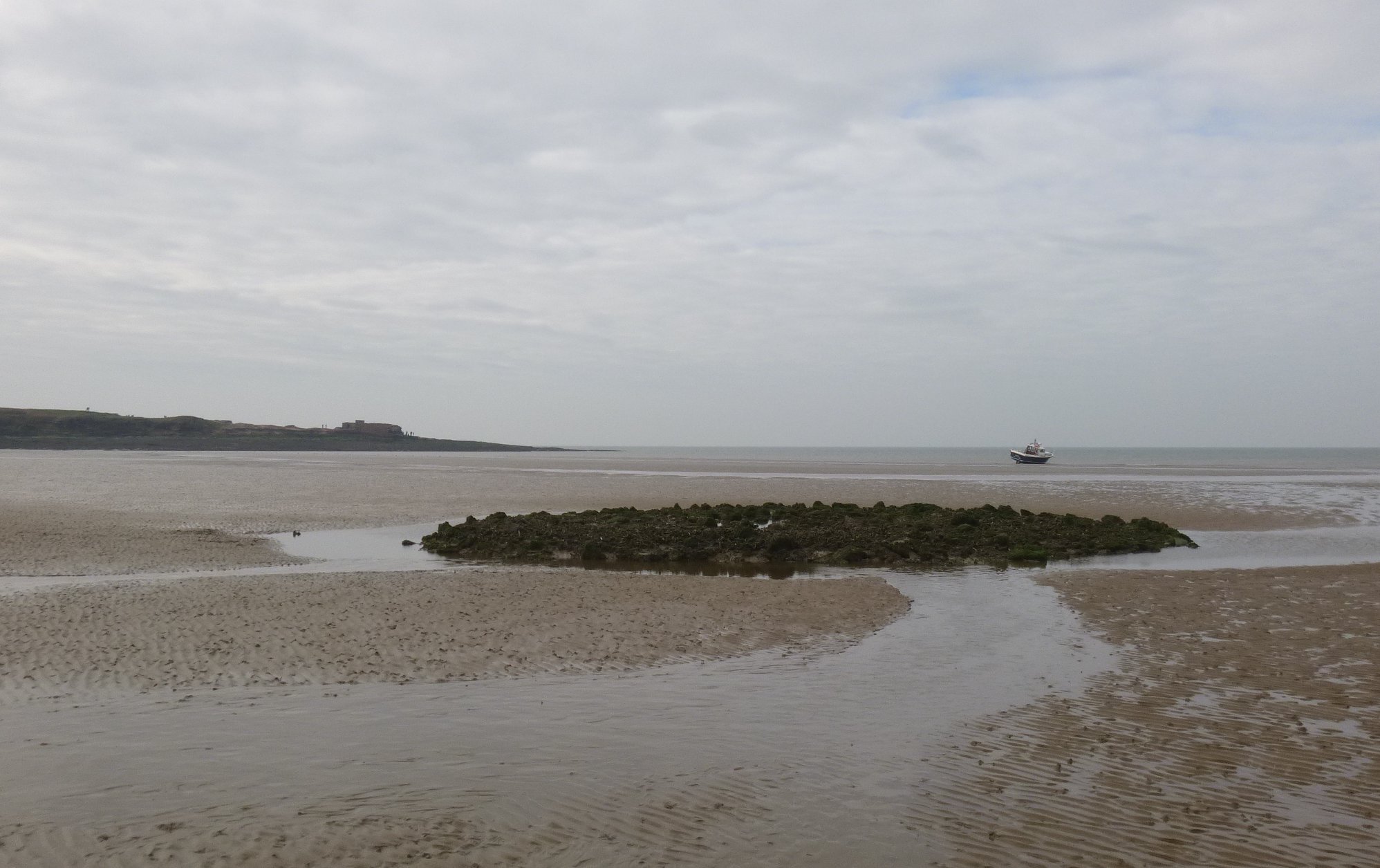
Not far away was a pile of stones: which, on inspection, I believe is the remains of the "Beach Mark" or "North Mark". These marks were established by Capt Denham in 1834 as a pair of framework beacons with diagonal top-marks to show the channel through Hilbre Swash. In the late 1800s this was the still the leading mark (with back mark on Little Eye that was 70 ft high) that marked the channel in Hilbre Swash (which was then further west than it is now and which was approximately N-S then). See 1870 info. It is marked on old (circa 1910s) OS maps at position 53 23.135 N 3 13.243 W which checks with how it appeared from my drying position. It was awash at tide level corresponding to about 4.7m above Chart Datum [so near half-tide]. This obstacle is not charted by Navionics (but is on HO chart 1953 and 1978) -- so beware.
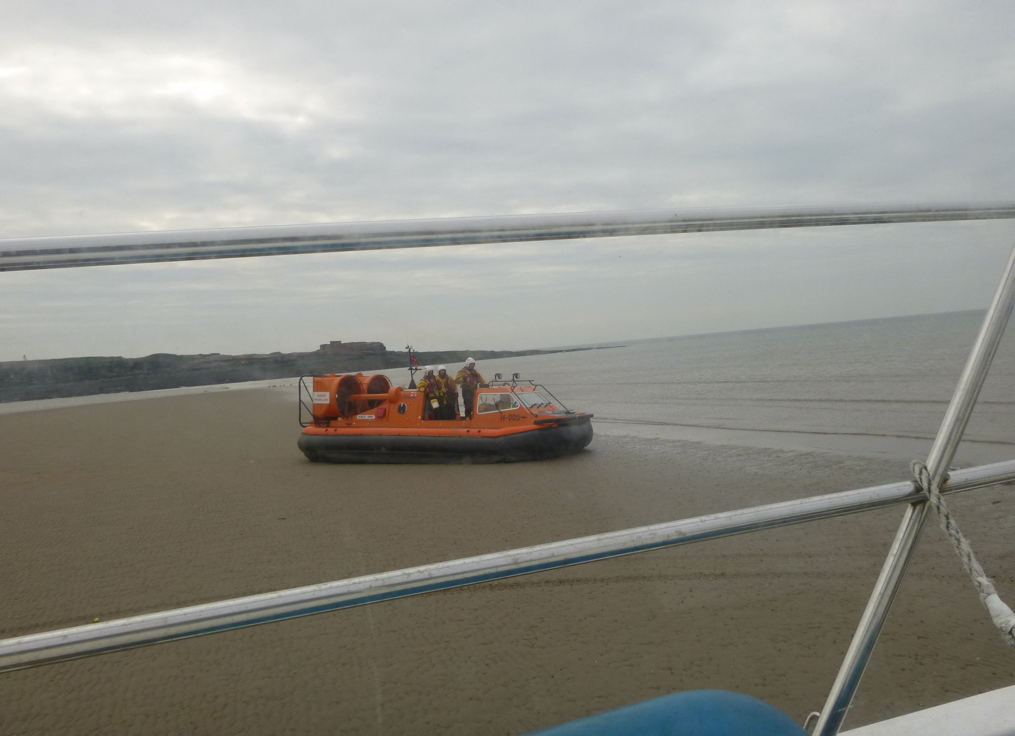
The boat was dry by 13:20 and I was able to scrub the hull, clean the propeller and check the anode. Low water seemed to be around 2:20 [Liverpool LW predicted as 2:40 3.1m]. This is not a common place for boats to dry out - so I expected there to be some interest in my boat. After chores I retired for a siesta -- but on two occasions, loud noise caused me to get up to seek an explanation: (i) the first was two men on quad bikes who turned out to be fishery protection officers, (ii) the second was the RNLI hovercraft (currently based at Hoylake) which parked up alongside me. The hovercraft is very noisy.
Marlin on the beach east of Hilbre Island: West Kirby with Grange Hill behind remains of Beach Mark from my drying position; Hilbre behind the Beach Mark; RNLI hovercraft alongside.
| |
|
|
I refloated at 4:33 and headed out past He3 across the East Hoyle spit. [see previous experience for info on crossing this spit]. I passed through Murphy's Gut again to add survey data.
I was off Liverpool marina by 6:25 [Liverpool HW 20:25 8.0] and berthed by 7pm.
Above trip was mainly at tick-over (6 knots through water) and used about 3 gallons. Distance run (over ground) 15.3 nm outbound and 13.6 nm returning.
A record of the depth and track of my voyage is available from teamSurv
If higher resolution versions of the above images are wanted, please contact me. All information given in good faith, but please do not rely on it.
Back to index here